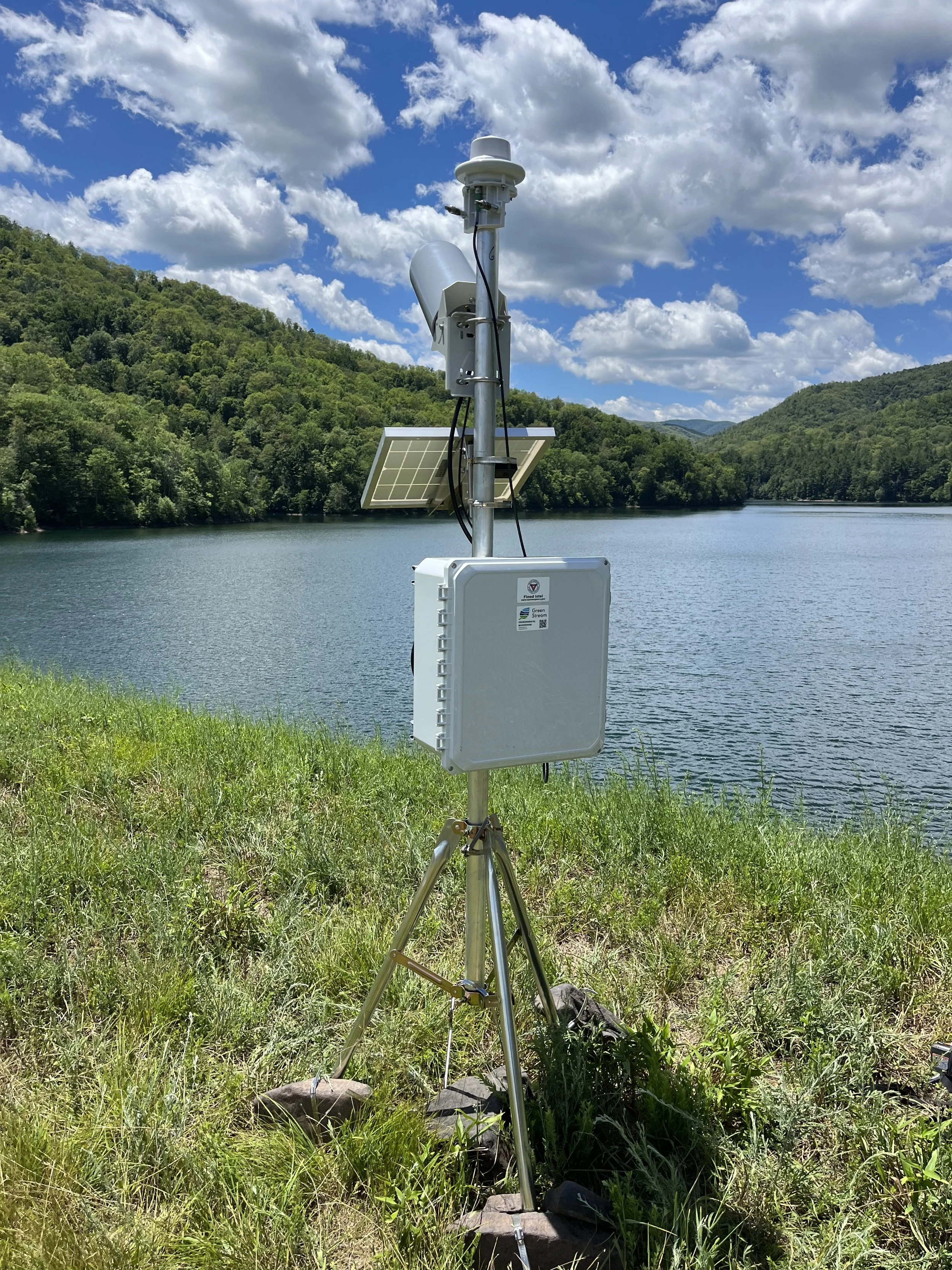
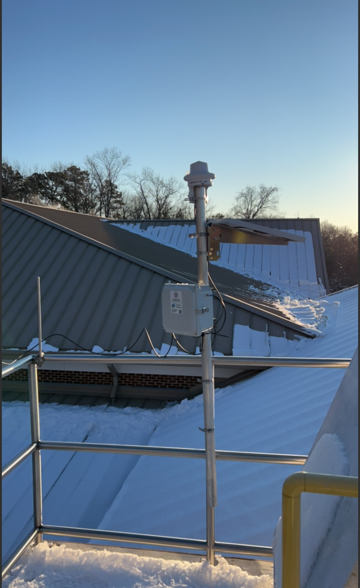
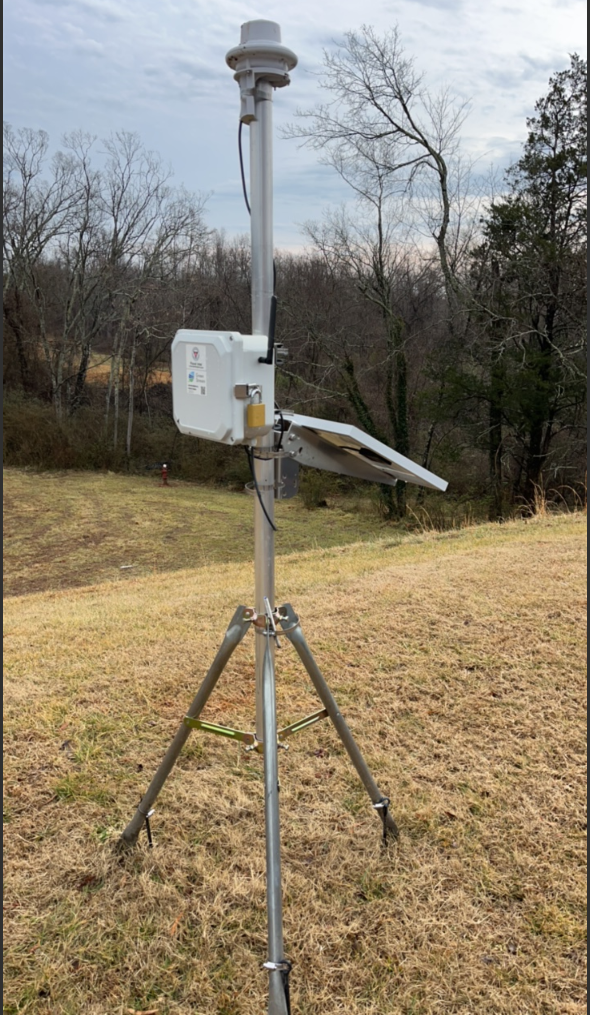
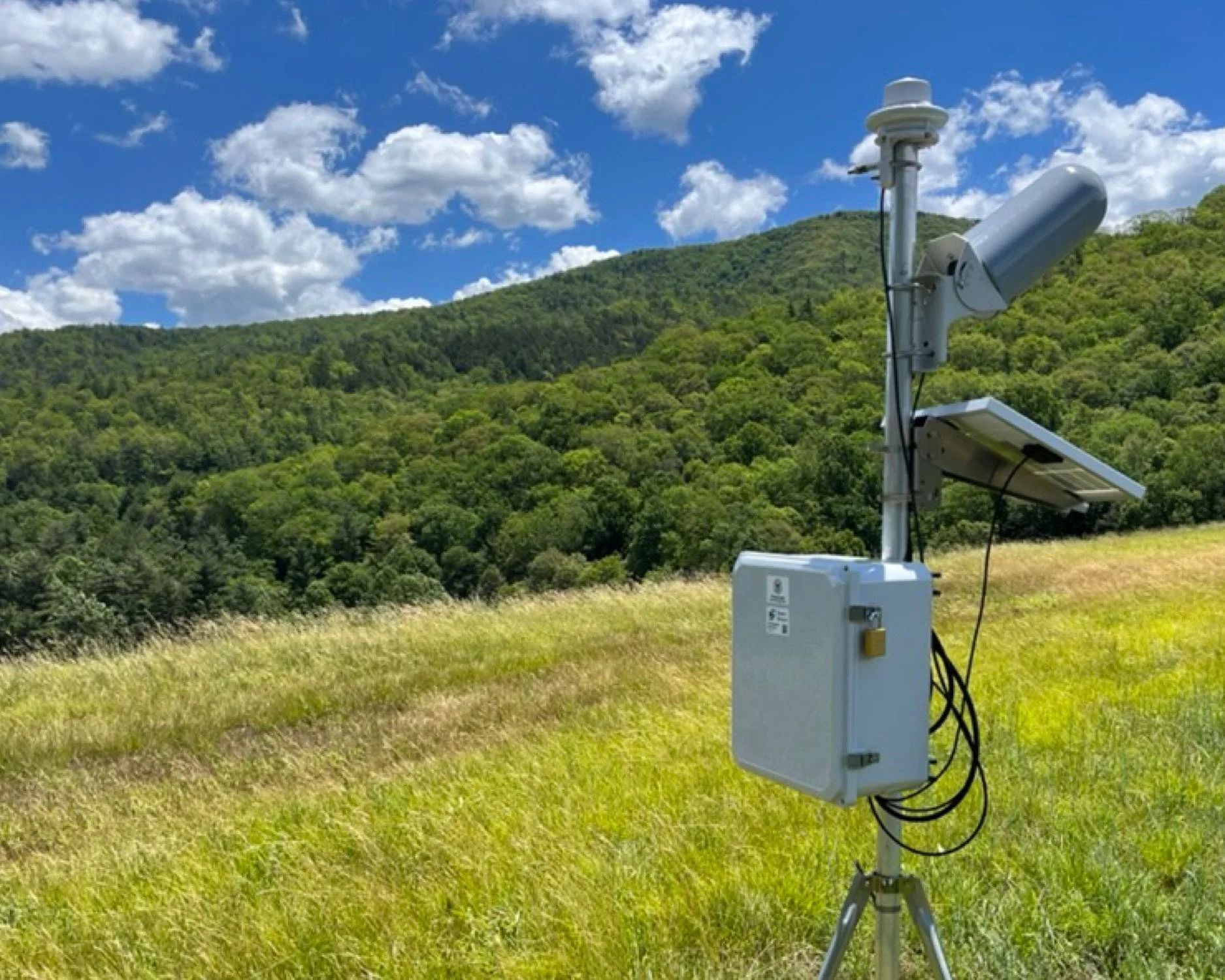
Rain and Precipitation
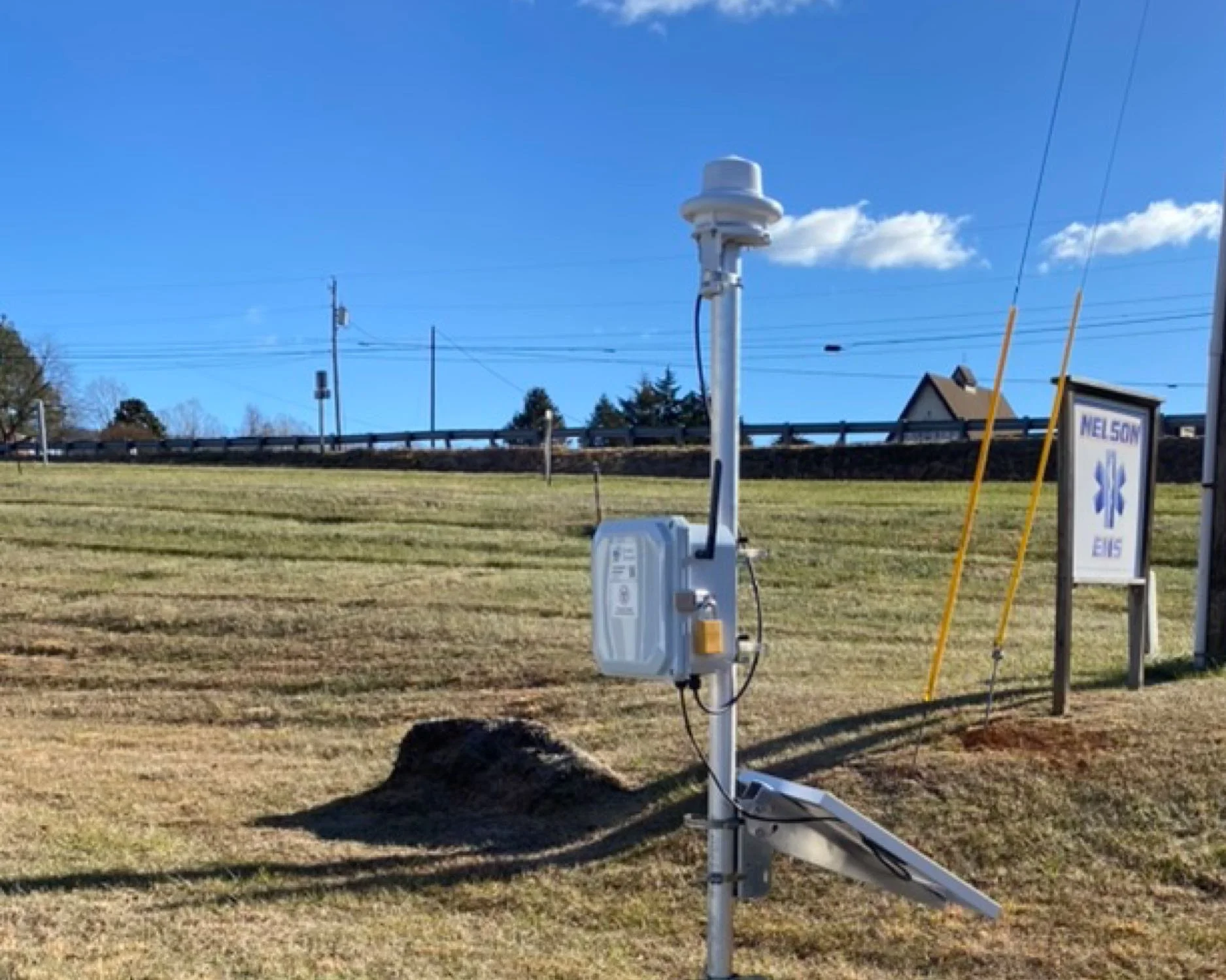
Communities use localized rain and precipitation gauges to understand where flooding may develop before water levels rise. Heavy rainfall is often the first warning sign of flash flooding, but rain does not fall evenly across a region. A storm may drop several inches of rain over one neighborhood while a nearby airport gauge or weather forecast misses the intensity entirely.
Local precipitation data helps emergency managers, public works teams, and floodplain managers see what is happening on the ground in real time. When paired with stream and water level sensors, rainfall data helps communities anticipate flooding, verify storm impacts, and document conditions after an event.