Regional and Statewide Flood Monitoring Networks
Flood water moves across coastlines and watersheds, and it does not care at all about jurisdictions. So regions and states are building interoperable flood monitoring networks that combine local sensor deployments into broader regional and statewide systems.
Modern flood resilience depends on shared situational awareness. A sensor installed in one community may provide critical upstream warning to other communities downstream. By sharing environmental data across interoperable platforms, organizations can improve emergency response, forecasting, infrastructure planning, and public safety coordination.
When each community builds and maintains its own monitoring system, it’s not always easy to share data. And the cost is often out of reach for communities with fewer resources. Yet even a small number of strategically placed sensors can provide valuable local intelligence while contributing to a larger regional network. Collaborative platforms allow local governments, planning organizations, universities, nonprofits, and private stakeholders to participate in shared monitoring efforts while maintaining control of their own deployments and operations.
Green Stream supports interoperability systems are designed to help communities and local stakeholders participate in broader monitoring initiatives while reducing duplication and maximizing the value of environmental investments.
These collaborative networks include:
statewide flood information systems,
regional watershed partnerships,
planning district and multi-jurisdiction initiatives,
coastal resilience networks,
university research collaborations,
nonprofit environmental programs,
and integrations with forecasting and public safety systems.
In some cases, private property owners and local organizations such as HOAs or neighborhood associations voluntarily acquire sensors and contribute environmental observations because they want to support the safety and resilience of their surrounding communities, as well as gain visibility with local public safety officials. Shared environmental data can also support academic research, forecasting improvements, and regional resilience planning.
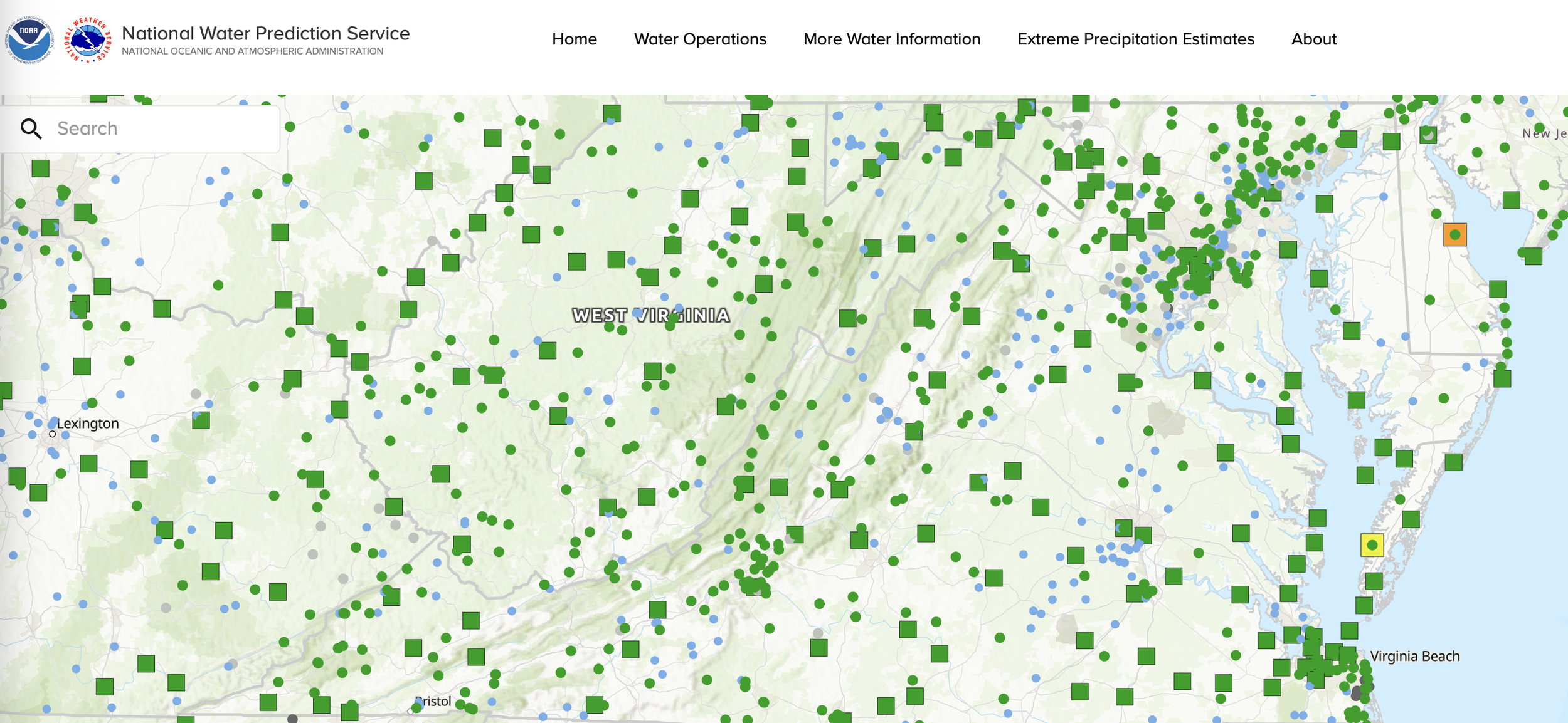
Green Stream supports interoperability and integration with external platforms and forecasting systems, including National Weather Service and NOAA water data initiatives.
By connecting local monitoring efforts into interoperable regional or statewide systems, communities gain broader visibility, stronger coordination, and more resilient flood preparedness without requiring every organization to build a large independent network.
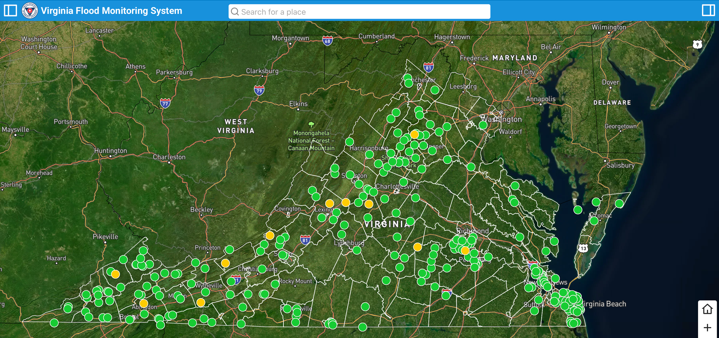
We built a statewide flood monitoring network.
Hear Virginia’s example:
Since the video was recorded, the Virginia Flood Monitoring System has more than doubled in size. Water level sensors and precipitation gauges have been added by VDEM, local communities, grant projects, and research projects.
Sensor data is available to the public via NOAA’s National Water Prediction Model at water.noaa.gov