Hampton Roads Expands Regional Roadway Flood Monitoring Network
Communities across Hampton Roads continue to invest in real-time flood monitoring as part of a broader regional effort to improve roadway safety, mobility, and flood resilience.
The Hampton Roads Planning District Commission (HRPDC) is expanding its regional roadway flood monitoring initiative following lessons learned from earlier pilot projects designed to better understand how flooding affects transportation corridors and daily travel throughout the region. The project is funded through a Community Flood Preparedness Fund (CFPF) grant, funded by the Virginia Department of Conservation and Recreation.
The initiative focuses on collecting real-time water level data from flood-prone roadway locations to support transportation agencies, emergency managers, planners, forecasters, and the traveling public.
Green Stream is supporting the deployment of the monitoring systems as part of the regional program.
An important aspect of the project is regional and national data sharing. Sensor observations from the Hampton Roads network will be shared with the Virginia Flood Monitoring System operated by the Virginia Department of Emergency Management (VDEM) as well as the National Weather Service’s National Water Prediction Model, helping improve broader flood awareness and forecasting capabilities.
The project also supports future public-facing roadway warning applications, including integration pathways for motorist alerts through Waze.
The initiative reflects a growing recognition that real-time environmental monitoring plays an important role in transportation resilience and public safety. By combining regional coordination, operational monitoring, and data sharing, Hampton Roads is continuing to build a more connected flood intelligence network for the communities it serves.
Watch reports on local news:
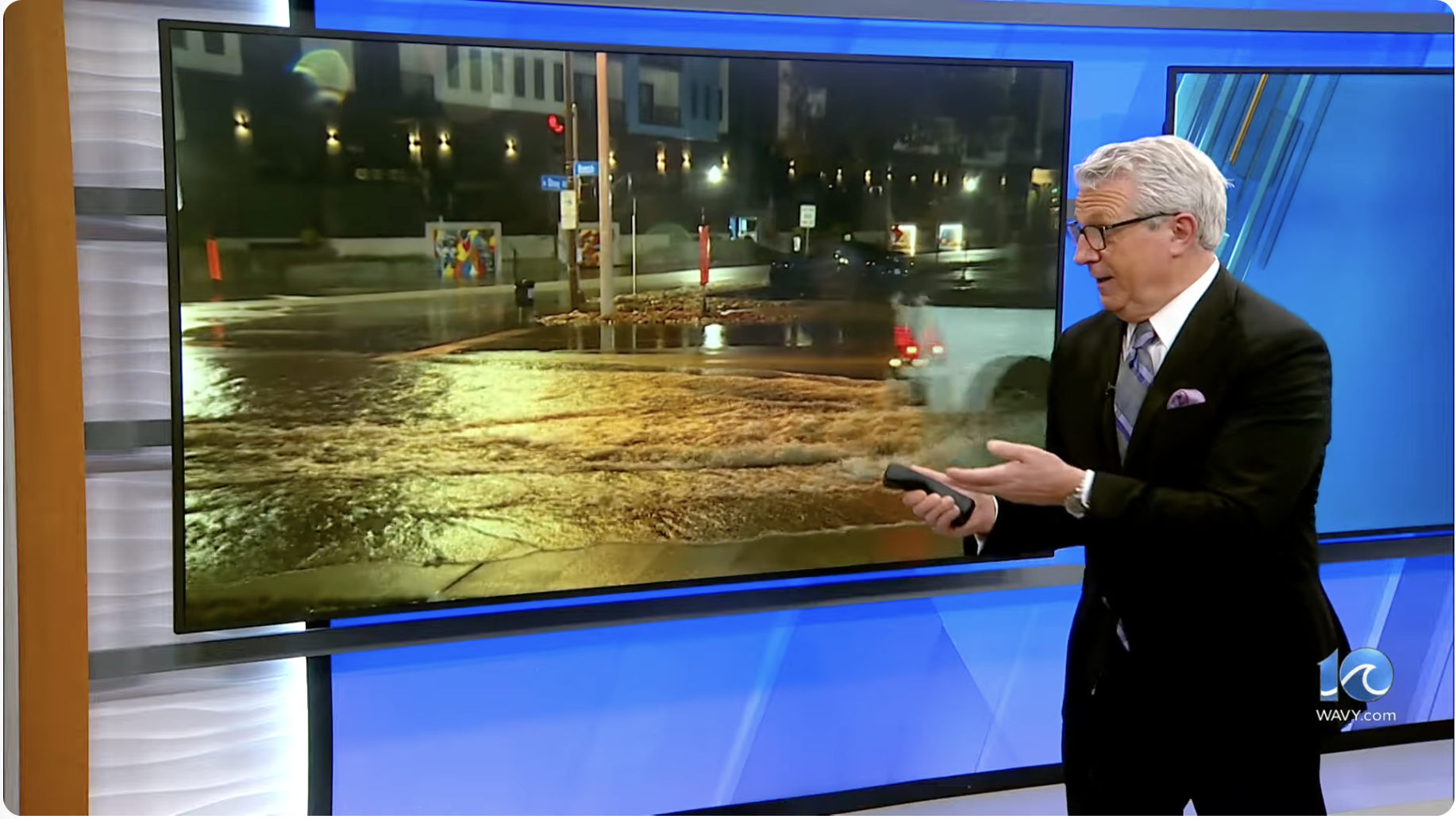
TV reporter describes the flood monitoring project
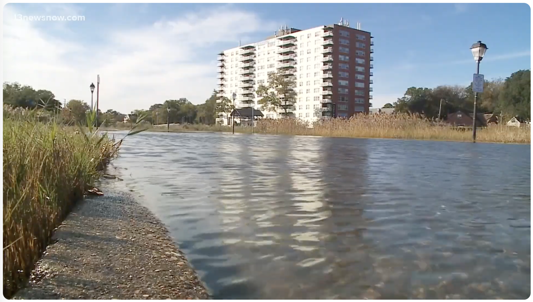
A frequently flooded roadway